for Windows 95, 98, Me, NT, XP, 2000
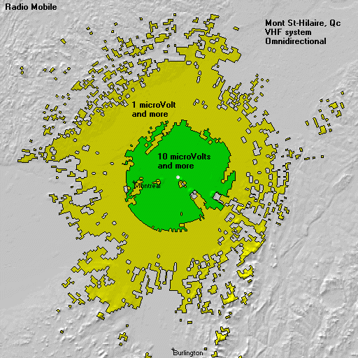
This software is a tool
used to predict the performance of a radio system.
It uses digital terrain
elevation data for automatic extraction of path profile between an emitter and
a receiver.
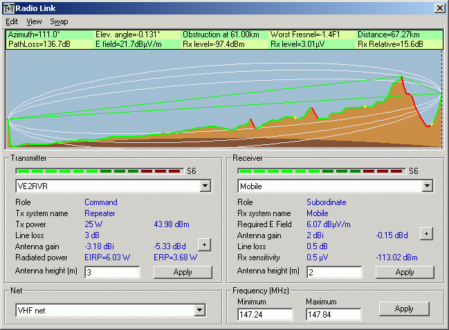
This data is added to
system, environmental and statistical parameters to feed the Irregular Terrain Model radio propagation model
Elevation data is also used
to produce virtuals maps in background.
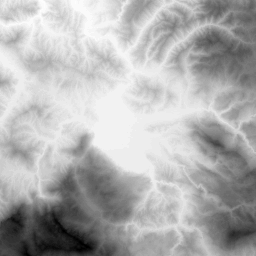
 Grey scaled slope
 X-ray
X-ray
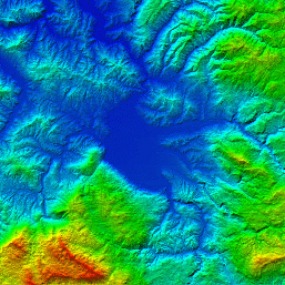 Rainbow
Elevation data for most of the world is available
The software also provides
3D views, stereoscopic views, and animation.

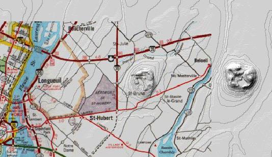
Background picture can be
merged with scanned map, satellite photo or military ADRG.
This software is available
free on this site.
Constructive comments are
welcome!