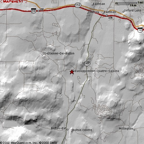
1. Acquire elevation data for my QTH as per first example
2. Go to MapQuest web site
Enter at Latitude 45.25 and Longitude -72.35 in "Map a lat/long coordinate using decimal values" zone
Use the "Customize" button to enlarge picture size to maximum (499x500)
Once finished, select the zoom settings to produce the following picture
You then "right click" on the picture and save it on your local drive
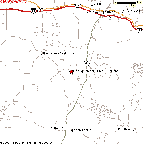
2. Open the same picture in Radio Mobile
Measuring the width in pixels of the 1km box gives 42 pixels
The vertical size of the picture is 1km/42*500 = 11.9 km
Use "Picture properties" and enter the following values:
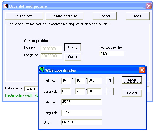
Do not forget to save the picture to create the ".dat" file
3. Fit map to picture
under "Edit" menu and use "Picture properties" to get the following map picture:
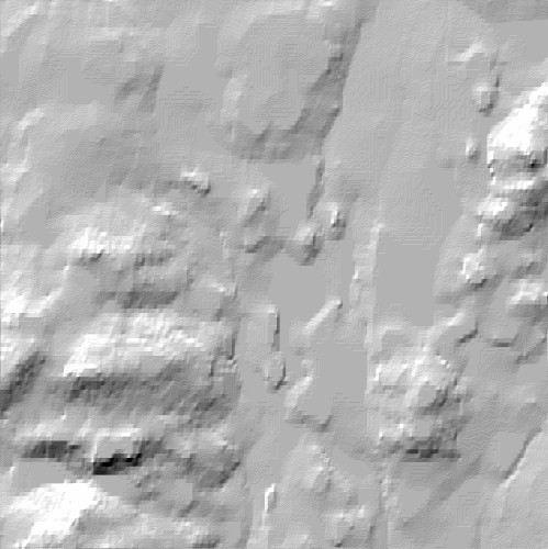
4. Merge picture
(multiply) under "Edit" menu. Select MapQuest picture as source and map picture as destination to get the following result: